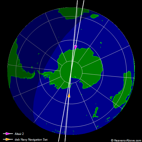
| Primary satellite | Secondary satellite |
| Name | Altair 2 | deb Navy Navigation Sat |
| Spacetrack catalog number | 1953 | 18562 |
| Radar cross section | medium | small |
| Epoch of two-line elements (UTC) | 2024 Dec 22 20:59 | 2024 Dec 22 17:30 |
| Time of closest approach (UTC) | 2024 Dec 24 02:27:49.238 |
| Minimum distance | 4.636 km |
| Height difference | 4.573 km |
| Relative speed | 14.755 km/s |
| Angle between velocity vectors | 175° |
| Geographic position | 89.1°S, 23.9°E |
| Height | 1009 km |
|